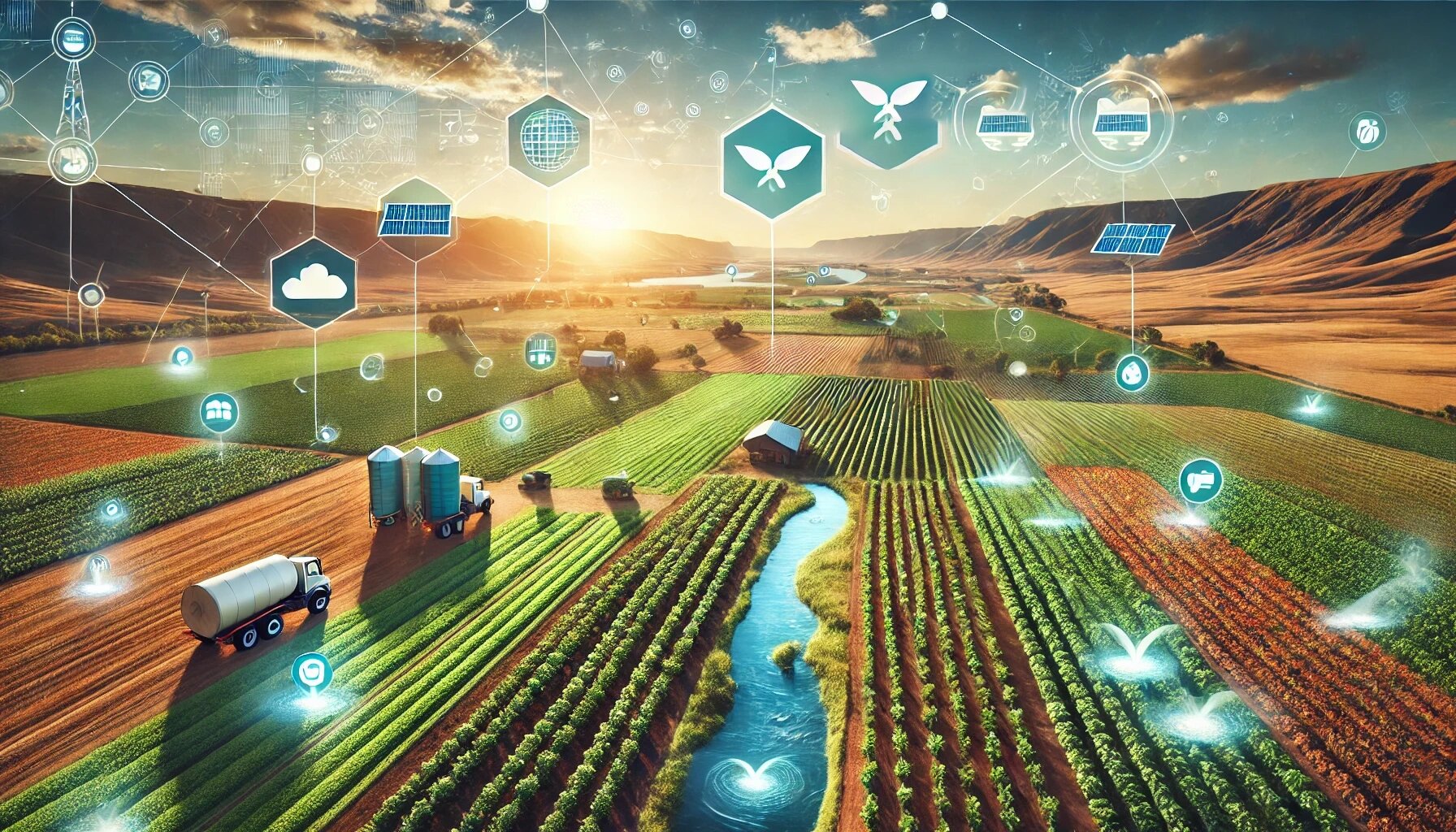
Welcome to EnviroGIS
Pioneering technology and transforming data and information into decision-making tools supporting sustainable management
Why Choose Our Solutions?
At EnviroGIS, we leverage cutting-edge Geographic Information Systems (GIS) technology to empower businesses with innovative solutions tailored to meet the demands of competitive markets. Explore our comprehensive suite of solutions designed to improve integration, support business-intelligence, and facilitate the efficiency of the total value-chain.
Empowering you through affordable technology evolution.
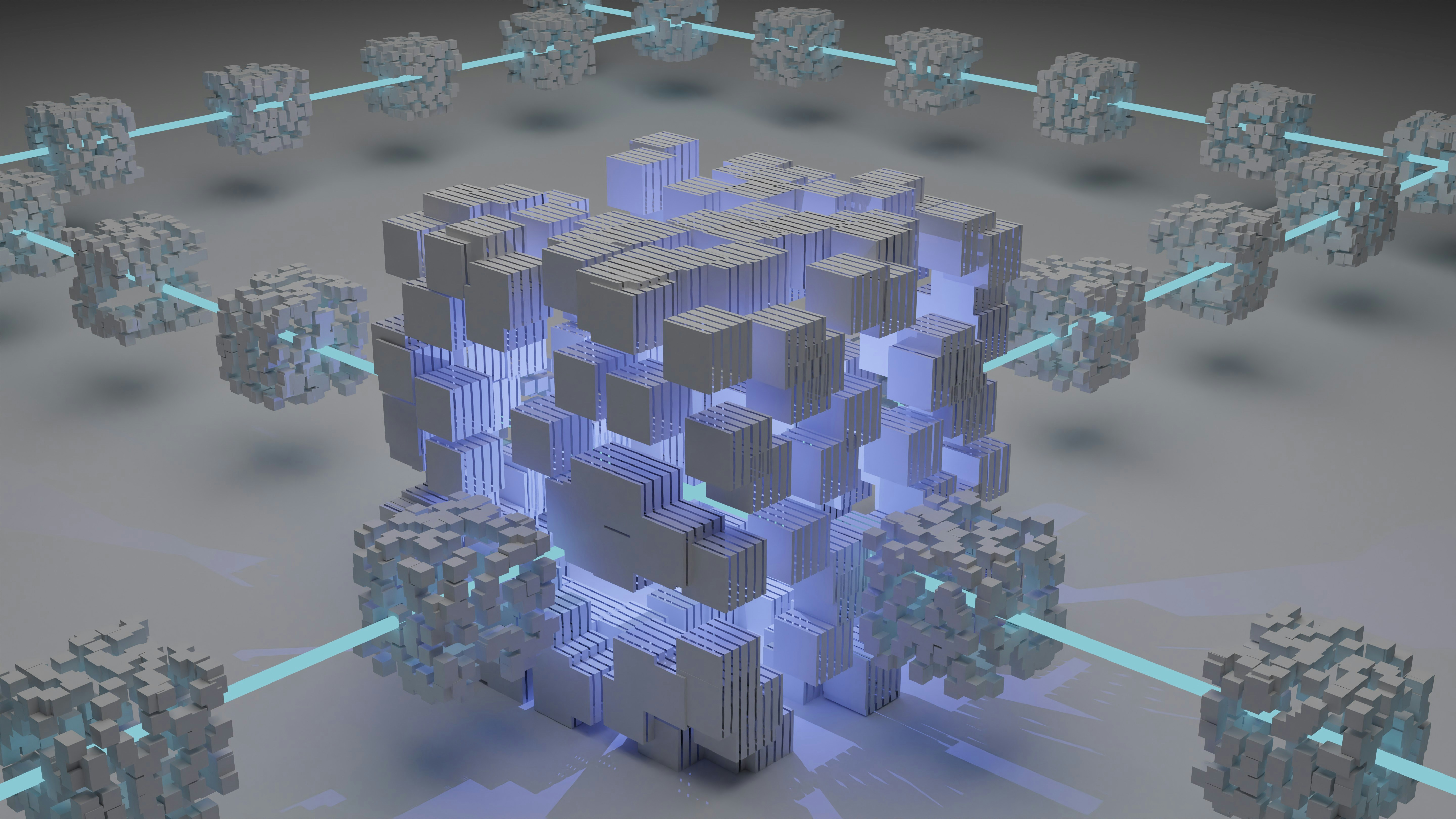
Unlock the Power of Integration
Our technology architecture enables seamless integration with 3rd party systems for easy data exchange and enhanced functionality, providing the flexibility to access real-time data.
Holistic Business Insights
Gain insights into business-intelligence using our profiling tools, designed to identify market opportunities through tailored analytical reports and geo-located visualizations.
Streamline the Value-Chain
Streamlining digital transformation processes ensuring data consistency, smart services, scalability and system connectivity.
About Us
EnviroGIS is a leading force in the development of smart Geographic Information Systems (GIS) for industry sectors relying on the bio-physical ecosystem. Founded in the year 2000, by a team of passionate professionals, we are committed to enhancing productivity, sustainability, transparency and scalability by providing innovative, cloud-based solutions tailored to meet the unique needs of each of our clients.
Our Vision
We envision a future where every EnviroGIS client can seamlessly integrate smart GIS technology into their operations, leading to increased profits, reduced risk, and sustainable operational practices. By continuously innovating and adapting to the changing landscape of digital-capital, we aim to be at the forefront of the spatial revolution.
Our Mission
At EnviroGIS, our mission is to empower our clients by leveraging smart GIS technology to provide actionable insights and data-driven solutions. We strive to improve clients’ transactional efficiency by providing natural capital intelligence through integrated solutions.
Brand Promise
Empowering you through affordable technology evolution.
Solutions
At EnviroGIS, we are dedicated to providing innovative Geographic Information System (GIS) solutions tailored to the unique needs of our clients. Our cloud-based technology-stack is designed to enhance productivity, optimize resource management, reduce risk, provide scalability and improve management decision-making. Explore our comprehensive solution-offerings below:
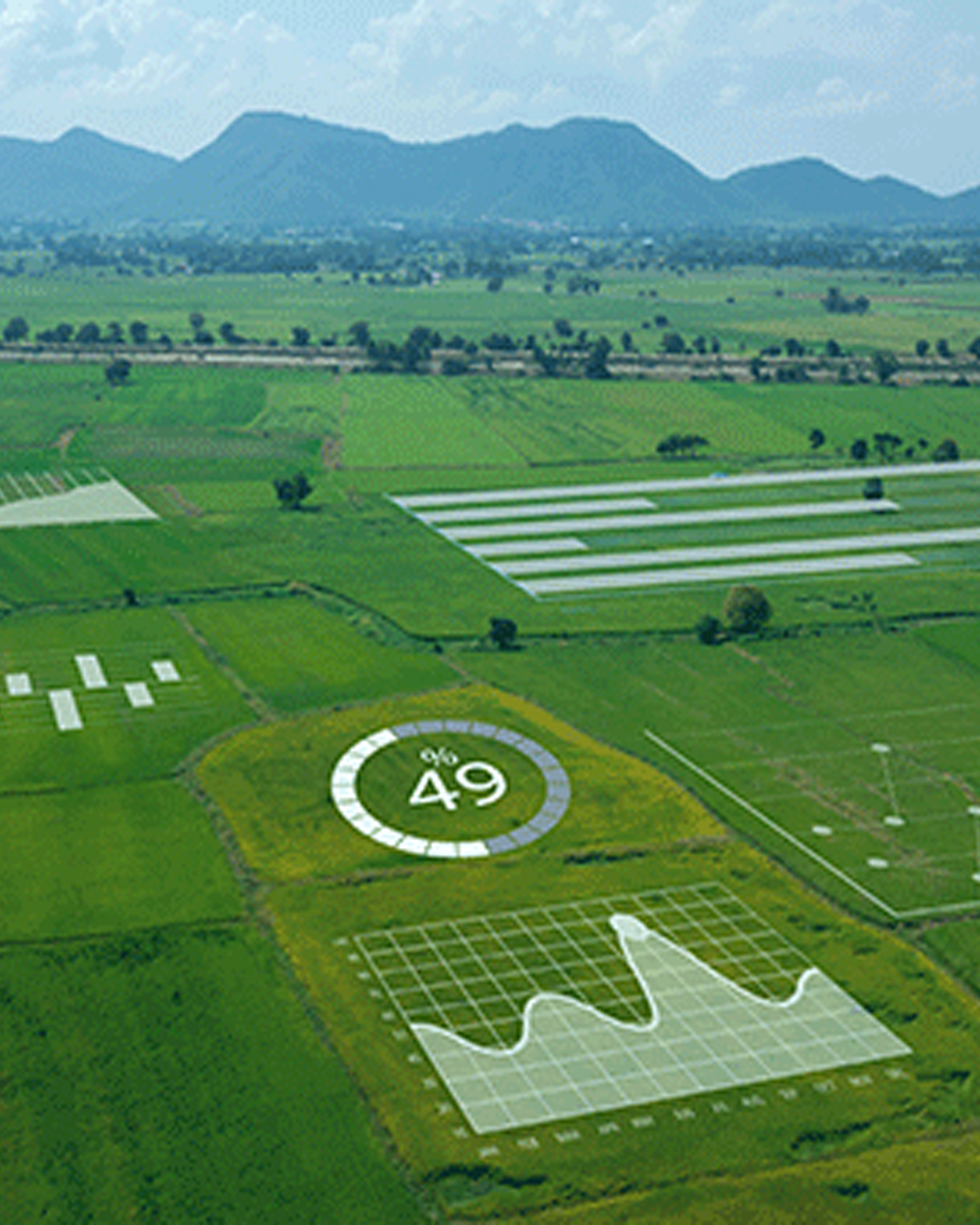
Geo-Spatial Platform
Harness the power of our Smart Cloud-Based Geo-Spatial Platform for intuitive data visualization and spatial analysis. This Platform allows you to analyse geographic data, assess environmental factors, and create and add your project data. Whether you’re planning new projects or evaluating current operations, the Platform provides the insights needed for informed decision-making.
Business Entity Profiling
Gain critical insights into your business through our Business Entity Profiling service. We analyse several factors such as ownership, market trends, performance metrics, and stakeholder demographics to provide a comprehensive profile. This service helps businesses identify opportunities, tailor their strategies, and make informed decisions based on actionable data.
Land Profile Assessment
Gain a comprehensive understanding of your land with our Land Profile Assessment solution. The solution evaluates key factors such as climate, soils, topography, land use, risk, suitability and productivity, to provide insights that support effective management of your natural capital.
Land Suitability
Optimize your operations with the Land Suitability Assessment solution. Various environmental and geo-physical factors are considered to determine the most suitable crops for the land. This solution helps to make informed decisions on crop selection and land use, reducing risk and enhancing productivity and sustainability.
Farm Financial Planning
The Farm Financial Planning solution assists agricultural businesses and farmers in creating detailed financial plans and strategies. It includes tools to assess costs, project revenues, and evaluate risk. By leveraging data analytics and financial modelling, it assists in the optimization of your financial resources and to plan for sustainable growth.
Insurance Manager
Mitigate risk with our GIS-driven Insurance Manager. This solution allows agri-businesses, brokers and farmers to generate instant, tailored insurance quotes based on specific business profiles and requirements. By streamlining the insurance application process, the solution helps ensure that your land is adequately protected against uncertainties.
Credit Application
Streamline the financing process for your farming ventures with our integrated Credit Application service. The solution integrates and simplifies the application process, ensuring that your business profile is accurately assessed. The tool allows you to manage credit applications efficiently, reducing the risk to secure funding for growth and innovation.
Crop Monitoring
Maximize Yield with Real-Time Insights - Using satellite imagery and sensor data, our Crop Monitoring solutions provide timely information on crop health, enabling proactive management for improved yields.
Reporting Solutions
Make informed decisions using the integrated Reporting Solution. Comprehensive reports and visualization that highlight critical data insights relevant to land-use operations. From performance metrics to risk assessments, the reports enable stakeholders to assess operational effectiveness and drive strategic planning.
Business Intelligence
Use the BI user-friendly dashboard that integrates and links maps with data, data with graphs and statistics with user-selections. Provides the ability to gain client and business-partner insights. Real-time data to reduce the risk of human-error, insights into competitor information to gain a competitive advantage.
API
Unlock the Full Potential of Your Systems - Our APIs enable seamless integration with existing software platforms, allowing real-time data access and automation of workflows for enhanced functionality.
Get Started Today!
At EnviroGIS, we are dedicated to providing innovative solutions that empower your business. Whether you are looking for geospatial data integration, land-profile risk assessment, or monitoring, we are here to help you succeed. Contact us today to learn how our solutions can benefit your operations.
Portfolio
At EnviroGIS, we believe that our solutions and track-record speak for itself. Our portfolio showcases a selection of successful projects that illustrate the effectiveness of our innovative solutions and commitment to excellence in the various sectors. Notice our industry focus areas below to understand how we have transformed business practices into sustainable clients.
Sector Focus
Agricultural Co-Ops
Government
Organised Agriculture
Producer Agents
Private Companies
Mining Houses
Insurance
Judiciary
SADC Countries
Frequently Asked Questions
At EnviroGIS, we understand that navigating the complexities of agricultural technology and environmental management can raise numerous questions. Whether you're a current client or exploring our services for the first time, we’ve compiled a list of frequently asked questions to help you better understand how we can support your agricultural needs. If you need further assistance, feel free to reach out to our team!
What is EnviroGIS?
EnviroGIS is a South-African registered private company and a leading provider of Natural Science and Geographic Information Systems solutions for the sustainable use of resources in Africa. The company was established during 2000 and has successfully completed more than 400 project solutions for clients locally and abroad. EnviroGIS is a certified GIS service provider and our data is endorsed by the Spatial Data Infrastructure Act.
How can EnviroGIS benefit my agricultural business?
EnviroGIS, through its EnviroConnekt cloud-based Geospatial Platform, provides tailored solutions that leverage technology to improve crop management and operational efficiency, reducing risk, monitor growth, and increasing profits. Our solutions can help you make informed decisions about your natural capital, resource allocation, crop-yield predictions, and environmental compliance.
What kind of technical support do you provide?
Within our professional work-environment we cultivate and support a culture of collaboration with our clients. A dedicated project team is allocated to assist you with technical inquiries related to your project or our software. Training sessions, webinars, and one-on-one support is part of our services to you.
How do I access my project data and information
Upon onboarding as a user, you can access your data through our user-friendly cloud-based EnviroConnekt dashboards. Data can also be accessed using our easy-to-use API gateways. Security-by-design is part of our technology architecture and your data is not accessible to any third party user.
Are there any hidden fees we should be aware of?
A detailed user-requirements analysis process is followed to ensure that we completely understand your needs. A solution is then ‘white-labelled to meet your requirements. Project and software onboarding fees are then officially communicated in written format, according to your tailor-made solution requirements.
Still Have Questions?
If you didn’t find the answer you were looking for, feel free to reach out to us directly. Our team is here to assist you!
Our Clients