About Us
About Us
EnviroGIS is a leading force in the development of smart Geographic Information Systems (GIS) for industry sectors relying on the bio-physical ecosystem. Founded in the year 2000, by a team of passionate professionals, we are committed to enhancing productivity, sustainability, transparency and scalability by providing innovative, cloud-based solutions tailored to meet the unique needs of each of our clients.
Our Vision
We envision a future where every EnviroGIS client can seamlessly integrate smart GIS technology into their operations, leading to increased profits, reduced risk, and sustainable operational practices. By continuously innovating and adapting to the changing landscape of digital-capital, we aim to be at the forefront of the spatial revolution.
Our Mission
At EnviroGIS, our mission is to empower our clients by leveraging smart GIS technology to provide actionable insights and data-driven solutions. We strive to improve clients transactional efficiency by providing natural capital intelligence through integrated solutions.
Brand Promise
Empowering you through affordable technology evolution.
Core Values
-
Innovation:
We believe in fostering creativity and continually enhancing our ideas to provide innovative solutions that have significant positive impact and value to our clients.
-
Integrity:
We believe in creating ethical frameworks that guides professional conduct, emphasizing respect for our clients, and taking responsibility by closing the gap between intention and actions.
-
Collaboration:
We believe in creating purposeful employee and client partnerships through shared values and perspectives, boosting productivity and improving communication through a unified environment.
-
Sustainability:We believe in creating shared-value-opportunities by doing business without negatively impacting the environment, community, or society as a whole.

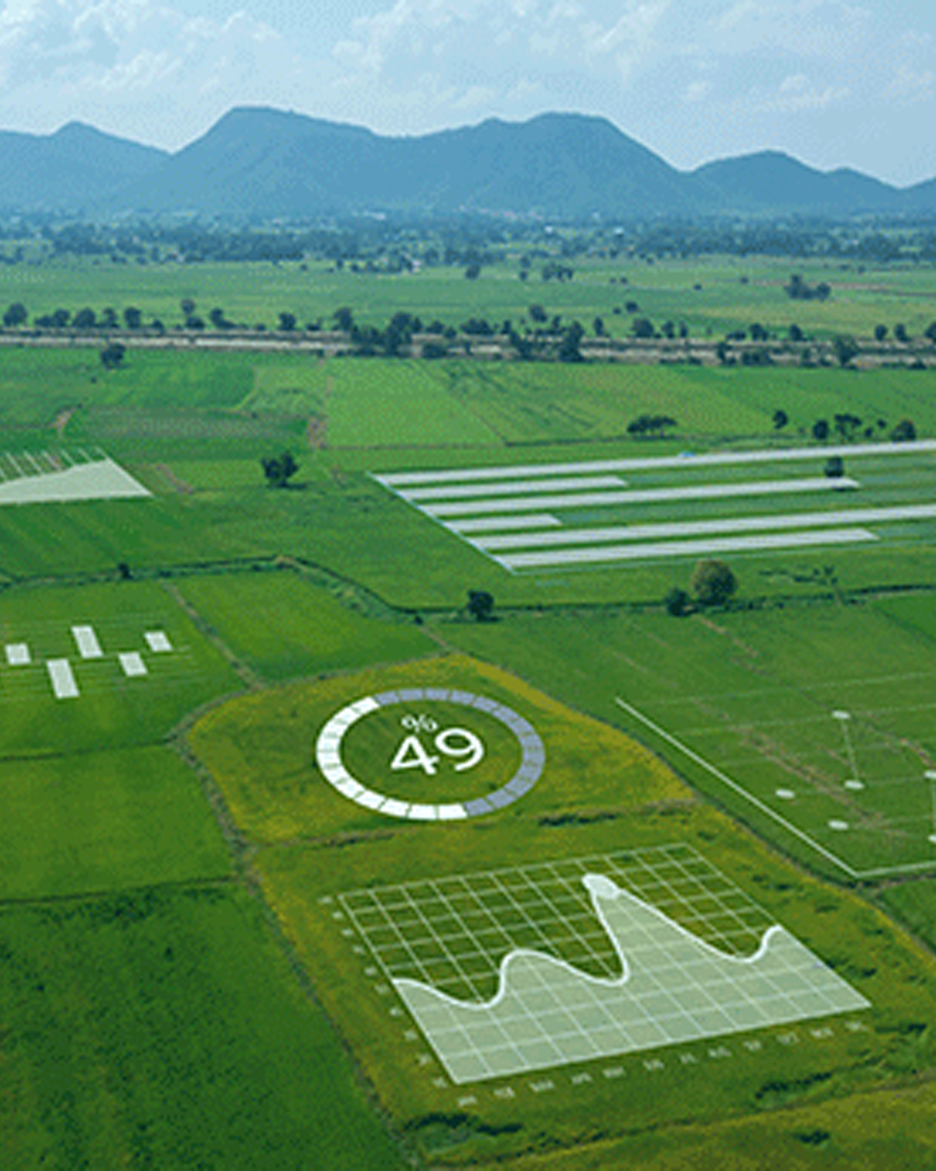
What We Do?
EnviroGIS specializes in a variety of services designed to leverage the power of technology, including:
Geo-Spatial Science
Mapping, Analysis, Modelling, Databases, Systems.
Natural Science
Soils, Climate, Geomorphology, Environmental, Conservation, Bio-diversity.
Earth Observation
Remote Sensing, Imagery, Monitoring, Time-Series, Change-Detection.
Business Intelligence
Data, Information, Linkages, Visualization.
Geolocate and Geofencing
Risk, Insurance, Credit, Security, Proximity.
Business Profiling
Markets, Competitors, Ownership, Profiling.